Single house for sale - 2056 Dombresson
5.5 rooms • 826 m² Plot
CHF 1’195’000
CHF 1’447 m²
Why you'll love this property
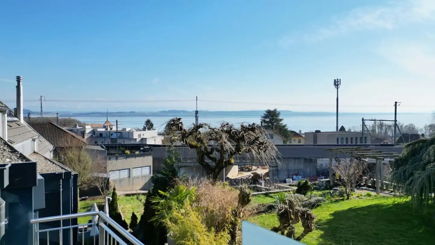
Stunning valley views
Optimal sunlight exposure
Architectural coherence preserved
Arrange a visit
Book a visit today!
This description has been automatically translated from French.
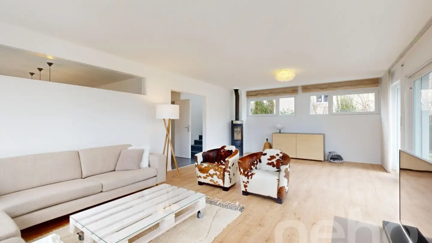
Villa E2 - Individual 5.5 rooms
The neighborhood plan in the locality of <> is located in the North-East of the village of Dombresson to the West of the municipal boundary with Villiers. The area is situated in a part of the locality that is sparsely urbanized, between the core formed by the area of the old locality to the West, and the individual and collective housing neighborhoods developed in the two municipalities to the East. The site is connected to the main road by a relatively flat strip of land that constitutes...
Property details
- Available from
- By agreement
- Rooms
- 5.5
- Land surface
- 826 m²
Features
Parking
Agency

Pro Immob SA
Address:Avenue Léopold-Robert 36, 2300 La Chaux-de-Fonds
Ref: a095.idx--LesEmpetieres.Villa_E2--7125850
Online since
18/12/2025
2 months ago
Location
2056 Dombresson